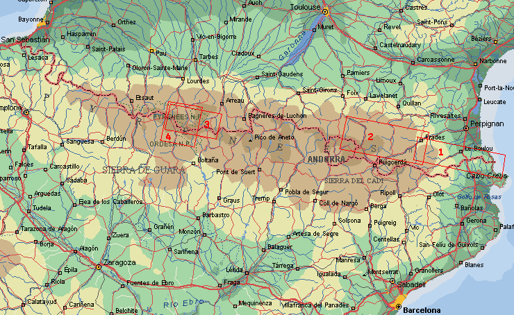
Map GR 10 Canigou

|
1

|
2
 |
3
 |
4
 |
|
Pyrenees Hike 1
The GR-10 from the Mediterranean Sea to the west, including Pic du Canigou.
After a nice swim in Banyuls-sur-Mer we went over the ridge that forms the border of France and
Spain. The route was slowly going higher. Beautiful views on the lowland and the sea. Chestnut trees
are growing here, very rare so high. Some farms in this lower part are abandoned, but there were many
cows on the Alps.
After a rest in Arles-sur-Tech we came in the higher part. Deciduous trees disappeared, conifers and
steep slopes appeared. We came at the area of the Canigou (2.784 m) the highest point of the trip.
Because of this peak is isolated, the views are beautiful. The trip was mostly in very quiet area, but
here came a lot of tourists (the first 2.000 m by car).
Going down there was heavy rain and thunder, so we were happy to find a cabin. At Col de Jou we left
the GR-10. In Casteils we visited the beautiful monastery of St. Martin du Canigou (13th century).
We ended the trip in Villefranche-du-Conflent, a beautiful town with fortifications of Vauban (17th
century).
Practical route information
By train to: Banyuls-sur-Mer, starting point. Route: (Grande Randonnée 10) > Col de Perthus >
Arles-sur-Tech > Pic du Canigou > Col de Jou (end of GR-10) > St.Martin du Canigou > Vernet-les-Bains >
by bus to Villefrance-le-Conflent railwaystation.
Hiking days: 10, distance 126 km, average height 1.140 m.
There are only a few huts, so you have to use your tent.
Copyright ©1998/2001 Jaap van der Veen
|
|


